Monday, June 26, 2006

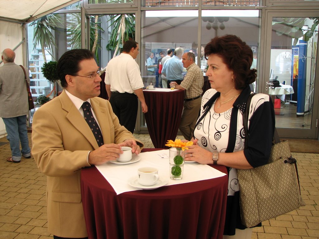
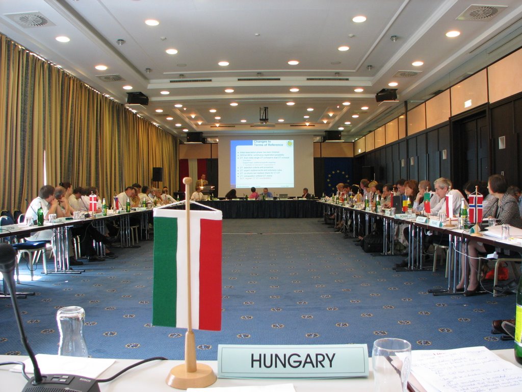
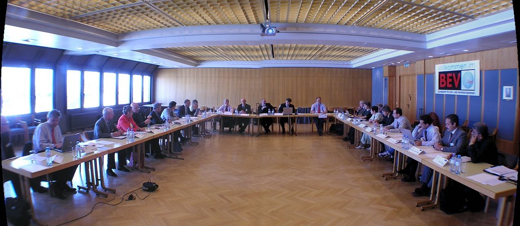
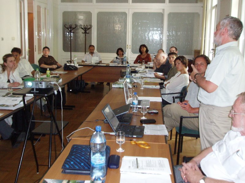
FARLAND Project Meeting in Budapest


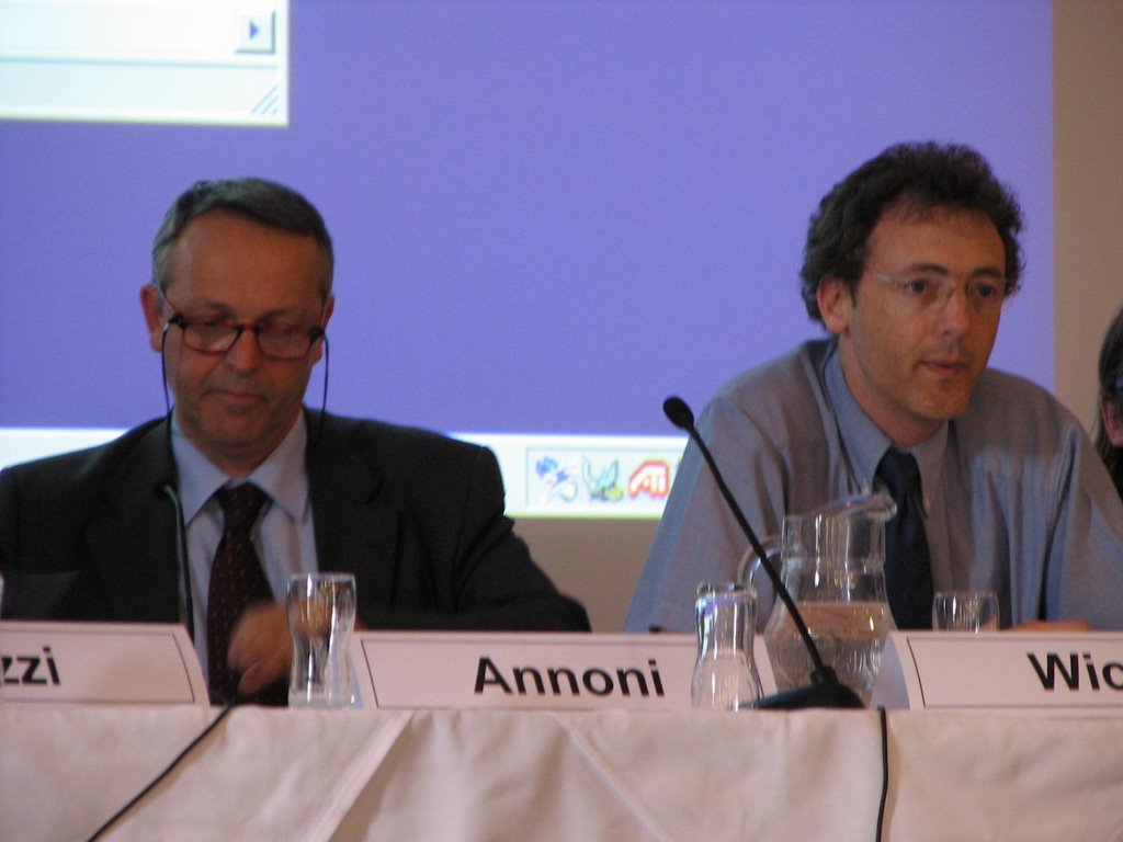
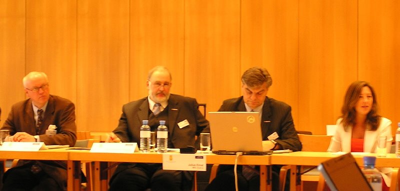
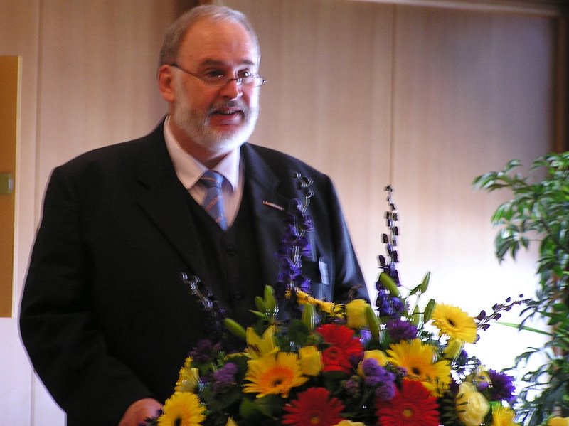
Prof. Dr. Tamás Németh in action. Image: HUNAGI Visual Resources

Academician Németh on land evaluation supporting sustainable land use

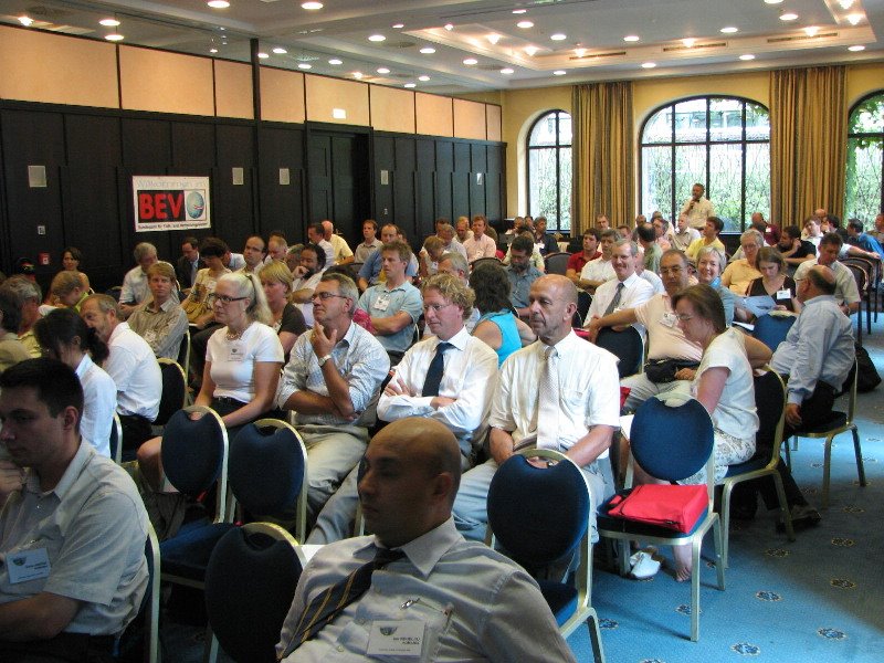
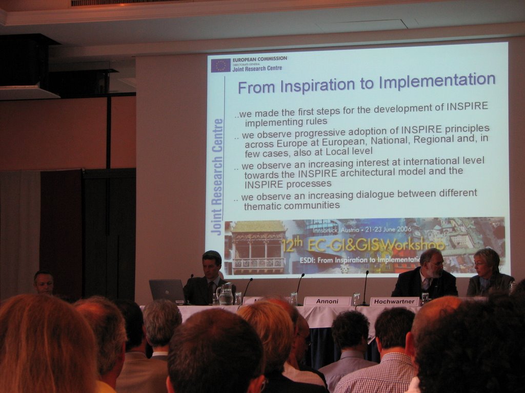
Rich programme with participation of representatives of major stakeholders. The workshop participated experts from Northrhein-Westphalia, the Netherlands, Portugal and DG JRC and hosted by FAO SEUR in Budapest was opened on 26th June chaired by Ms. Zsuzsa Flachner. Majority of the Hungarian institutions present are member of HUNAGI.

Friday, June 23, 2006

EGIN Meeting in Innsbruck


European GI Network had a Meeting in Innsbruck on 22nd June 2006
The representatives of some Pan-European GI Associations meet during the 12nd EC GI&GIS Workshop chaired by EUROGI President Mr. Jean Poulit. Representatives of Eurogeographics Director Nick Land, EUROGI Secretary General Joao Geirinhas, GISIG Director Giorgio Saio, CLGE President Gerda Schennach, EUROGI ExCom/AFIGEO Secretary General Francois Salgé, AGILE President Prof. Michael Gould, EuroSDR President Peter Woodsford, Alessandro Annoni Head of Unit SDI at DG SDI, Jean Poulit President of EUROGI and UNECE WPLA Heinz König of BEV and G.Remetey of MoARD were present (Image: HUNAGI Visual Resources)

Romanian interest on EUROGI

Scientific Director Dr. Angela Ionita in talks with Mr. Joao Geirinhas, Secretary General of EUROGI Image: HUNAGI Visual Resources
First talks between Romanian GI community representa-tive and EUROGI in Innsbruck on 23rd June 2006


The topics covered included EUROGI and its member organisations, and how they can support the establishment of an interdisciplinary national GI association.

Thursday, June 22, 2006

First Meeting of the EUROGI's International WAG


Golden roof, Innsbruck. Image: HUNAGI Visual Resources

EUROGI launches int'l activities based on the capacity of its Members

Claire Hadley of OS, Bruce McCormack, Convenor on behalf of EUROGI, Francois Salge of AFIGEO and Gabor Remetey Fulopp of HUNAGI meet on 21st June in Innsbruck and held the first formal meeting of the Working and Advisory Group on International GIS of EUROGI. The WAG has ToR based priorities available on the EUROGI website www.eurogi.org and welcomes additional members to join.

GISIG ExCom Meeting with the presence of Hungarian members

Image: HUNAGI Visual Resources.

Innsbruck, the European Capital of GIS for the week 19-23 June


GISIG, the GIS International Group located in Genova Italy has 15+ years experiences in international networking and strong in the field of tendering GI-related Calls of the European Commission orchestrated programs. There are a steadily growing number of Hungarian partners of GINIE including FOMI, HAS Research Institute of Geodesy and Geophysics, West Hungary University, University of Szeged and HUNAGI itself. Arranged by President Giorgio Saio, a General Board Meeting will take place today afternoon in Innsbruck as a satellite event of the EC GI&GIS Workshop. FÖMI will be presented by Pal Levai, while the Hungarian Association of Geo-information will be represented by HUNAGI Secretary General Gabor Remetey-Fulopp.
The outcome of the Meeting will be communicated by the members of HUNAGI via newsletter and direct communication.

Panel Discussion on INSPIRE Implementation

Two of the Panelists Peter Wicks (DG Envi)(right) and Alessandro Annoni (JRC)(left) and the participants. Image: HUNAGI Visual Resources


Q&A at the 12th EC GI&GIS WS
DG Envi generated a discussion on the business models. HUNAGI raised the question wether there is any intention to elaborate a cookbook or guide on the existing sustainable business models which could be used as a colleection of examples by actors and stakeholders from governmental bodies, NGOs, private sector and academia. All the important questions and answers were recorded and will be recalled at the Hungarian INSPIRE Open Day scheduled for 30 June 2006.
For further information or registration please write hunagi@hunagi.hu


Sunday, June 18, 2006

Acknowledgement to EOGEO Hungary by CEOS WGISS


Acknowledgement to EOGEO Hungary Foundation and HUNAGI for their excellent performance organising the 21st Meeting of the WGISS held in Budapest
Ivan Petiteville of ESA ESRIN, Chair of the CEOS Working Group on Information Systems and Services expressed his appreciation to Viktor Pusztai, President EOGEO Hungary Foundation and his team for the excellent organisation of the CEOS Meeting hosted by Hungary between 8-12 May, 2006. (EOGEO Hungary Foundation www.eogeo.hu is member of HUNAGI www.hunagi.hu since 2005)
The CEOSS bi-annual meeting and the embedded workshop devoted to the Hungarian Activities in Remote Sensing gave excellent opportunity for the representatives of the international Earth Observation community to meet competent persons like Dr. E.Both, Director of the Hungarian Space Research Office, Dr. S. Mihály, Director General of FÖMI and Deputy State Secretary Dr. N. Berczi of MoARD and the Workshop's high quality Hungarian speakers selected by HUNAGI. For further details, please see the relevant posts devoted to the event on this blog in May.
Mr. I.Petiteville is Co-Chair of the GEO Architecture and Data Committee and CEOS Representative too.

Based on the presentation of the Hungarian Secretary of the Global Spatial Data Infrastructure G.Remetey-Fülöpp, Mr.Petiteville offered cooperation between CEOS WGISS and GSDI for Prof. Harlan Onsrud, President of GSDI. It was suggested to establish a role of liasion and this position has been offered to Gábor with a proposal to identify in the GEO 2007-2009 Work Plan to be undertaken jointly by the two professional community.

Friday, June 16, 2006

INSPIRE Open Day in Budapest

INSPIRE Open Day event venue provided by FÖMI. Image:(c) FÖMI, 2006, HUNAGI Visual Resources
European legislation framework in spatial data infra-structure.
State of the art and action plan for the future
Hosted by FÖMI on 30th June 2006

Organised by the Ministry of Environment and Water, the Ministry of Agriculture and Rural Development in conjuction with the LMOs
Institute of Geodesy, Cartography and Remote Sensing, the Hungarian Meteorological Service as well as the Spatial Data Interest Community HUNAGI.

Programme:
Welcome address:
By Co-Chairs P. Bozó (DI MoEW) 10’ and D.Szendrő (DLAG MoARD) 10’
INSPIRE:
General introduction (P.Lévai) 20’
The updated Work Programme in the preparatory phase 2005-2006. State of the art in the view of the EC Expert Group Meeting on INSPIRE, and the 12th EC GI&GIS Workshop (Remetey-Fülöpp Gábor) 20’
Invited keynote speech: Special features of INSPIRE and Data specification Katalin Tóth DG JRC of the European Commission 60’
National level activities and measures supporting the INSPIRE preparadness:
Introduction of the INSPIRE Team of FÖMI (P.Lévai and his team members) 10'
Task Force on NSDI Strategy mandated by the Strategy Subcommission of the Intersectorial Coordination Committee on Information Society (ITKHT STEA NTIS) (L. Alabér) 10'
Information Society Operative Programme (ITOP) (S. Mihály) 10'
GIS Subcommittee of the Department of Geodetic Science of the Hungarian Academy of Science, (MTA GeodTB TA )(10') (S.Mihály on behalf L.Bácsatyai) 10'
Satellite Navigation Subcommitte of the Intersectorial Coordination Committee on Information Society (ITKTB MNAB) (I. Fejes) 10'
Break
Introduction by the Co-chairs Z.Dunkel (Hung.MetService) and Z.Sikolya (HUNAGI) 10-10'
Proactive participation in international networking in the INSPIRE context:
GEO, EUMETSAT (Z. Dunkel), EEA (P.Bozó), AGILE (t.b.d) EuroSDR (t.b.d) ISPRS WG IV/1 (RFG), EuroGeoSurvey (K.Brezsnyánszky), EARSeL (P.Winkler), FIG (P.Zalaba), UNECE WPLA (RFG), Regional NMCAs Meeting on INSPIRE (I.Rátkai), GISIG (P.Lévai) 5-5’
Relevant activities of HUNAGI in the international arena: FAO UNSDI, GEO-GSDI-CEOS WGISS, EUROGI, ISDE(G.Remetey-Fülöpp) 10’
Projects and Programmes: GMES, Galileo, e-ContentPlus, GVOP, 6/7FP (invited contributors: G. Iván Gy, T.Borza and P. Winkler of FÖMI 5-5'
Questions and Answers
Panelists: K.Tóth JRC, D. Szendrő MoARD, P.Bozó MoEW, S.Mihály FÖMI, Z.Dunkel Hung.MetService and G.Remetey-Fülöpp HUNAGI 30'
Closing words (S. Mihály FÖMI and K.Tóth DG JRC) 15'
Critical areas and hot issues: NSDI strategy, coordination, co-operation and partnership economic-financial modeling, sustainable implementation plan. Announcement of the National INSPIRE Day expected to be supported by EC DG JRC scheduled for November 15.

12th EC GI/GIS Workshop

Opening of the Workshop. Image: HUNAGI Visual Resources


From Inspiration to Implementation

INSPIRE Drafting Team works as well as Spatial Data Infrastructure on national, regional and local level are the major issues to be discussed at the 12th EC GI/GIS Workshop held under the Austrian EU presidency in Innsbruck opened today by Alessandro Annoni of JRC and August Hochwartner of BEV, Austria
The Workshop attracted 240 experts from more than 30 countries. The SDI Unit of DG JRC set up in 2006 was announced. A Call for Papers of the recently established On-line International Journalon Spatial Data Infrastructures Research was circulated.
On behalf of the Hungarian geospatial community representatives of the Geological Institute, FOMI and MoARD/HUNAGI are present. In the Poster session the Pannon University at Veszprem has contributed two poster papers on Municipal environmental monitoring and Intelligent land valuation system (D-e-meter).
More information on INSPIRE: here


back to the top

INSPIRE Expert Group Meeting - Hungary involved

Meeting room scene. Image: HUNAGI Visual Resources

INSPIRE - State of the Art

A full day meeting devoted to all importnt aspects of the INSPIRE including a half-round table 5 minutes introductions of the Member States preparation and awareness raising.
The Drafting Teams chairs made in-depth overview on the methodology, workplan and achievements so far. Prepared by the European Commission the updated WorkPlan of the INSPIRE preparation was also introduced and discussed at the EC INSPIRE Expert Group Meeting held in Innsbruck on June 20, 2006 itt (1100KB)

back to the top

INSPIRE - 2nd Reading in the European Parliament in Brussels

The European Parliament in Brussels. Image: HUNAGI Visual Resources

European Parliament votes on the INSPIRE by 2nd Reading in Brussels

INSPIRE document was discussed and voted on 13th June 2006 by the 2nd Reading of the European Parliament
itt (375KB)

back to the top


Tuesday, June 13, 2006

Farland - INTERREG IIIC Project Meeting in Budapest

Plantation endangered by flood of the Tisza River in Szabolcs -Szatmár-Bereg County. Image: HUNAGI Visual Resources
Land valuation, Land Management for Areas for High Flood Risks
- Inter-national Technical Exchange Meeting in Budapest

The Meeting will dealing also by GIS supported evaluation of land using D-e-Meter (See the blogpost of May 22, and/or visit www.demeter.vein.hu
More news on FARLAND please visit its the official website:
http://www.farland-project.org/

More on the Stakeholders:
http://www.fvm.hu
http://www.taki.iif.hu/english.htm
http://www.vati.hu
http://www.fao.org
http://www.takarnet.hu
http://www.wwf.hu
http://www.vein.hu

Sunday, June 11, 2006

Plenary Meeting of the Permanent Committee on Cadastre in the EU

Jarmo Ratia, Incoming Chair, August Hochwartner Outgoing Chair, Julius Ernst Head of EG WG CPI and Roxana Carelli of CPCI.


Participants of the PCC Plenary in work. Images: HUNAGI Visual Resources


Plenary of the PCC under the Austrian Presidency participated by representatives of 16 countries

As part of his PCC Report, Outgoing Chair August Hochwartner promoted cooperation between different organisations, especially with the sister organisation Ibero-American Permanent Committee on Cadastral Information (CPCI). The CPCI Cartagena inaguaral meeting was participated by the representatives of the Spanish, Portugaise and Austrian Cadastral Organisation. Presidency is provided by Spain. At the PCC Plenary Roxana Calleri from Argentina delivered presentation on the basic principles and features of the new informal association established in line of the PCC in the European Union. CPCI plans its participation at the GSDI9.
In order to ensure interoperability between services in the pan-European context, Spain offers proposal to enhance the effectivity introducing official agents of the Spanish Cadastre in third countries involving trained human resources.
PCC operates successfully in the ongoing projects, including the INSPIRE, where PCC is acknowledged SDIC for the European Institutions, providing different levels of interactions and influence eg. toward the INSPIRE Drafting Teams.
The Integrated Land Information System of Cyprus (CILIS) was introduced by Chief Cartographer Christos Zenonos.
The incoming Chair of the Permanent Committee on Cadastre in the EU will be under the Finish EU Presidency Mr. Jarmo Ratia, DG of the National Land Survey of Finland. The next PCC Plenary will be held at the Hanasaari Conference Centre in Espoo-Helsinki, 29-30 November 2006.

More on PCC: www.eurocadastre.org
More on EULIS: www.eulis.org
More on the Latin American Cadastre: www.cadastrolatino.org

Joint Meeting of Eurogeographics Expert Group on Cadastre & Land Registry - PCC

President of BEV, Austria, opens the meeting. Image: HUNAGI Visual Resources

Successful Joint Meeting of ExG C&LR - PCC under the Austrian EU Presidency in Vienna

The Meeting was attracted 44 experts from 24 countries and 3 international organisations including UNECE WPLA (represented by Peter Creuzer), Eurogeographics (Nick Land, Bozena Lipej) and the Ibero-American Permanent Committee on Cadastral Information CPCI (Roxana Carelli) were also represented. Hungary was represented by the Department of Land Administration and Geoinformation of MoARD. As only private sector representative with international activities covering also land-related isssues, the Hungarian company 4CLI was also invited.
The agenda focused on three major topics: INSPIRE, the Vision of the future cadastre and the Relationship between the Eurogeographics and the PCC . Detailed presentations on the EG Cadastre and Land Registry Expert Group were delivered on the Information Resource Project (where the Hungarian proposal to elaborate CLR-related data availability, accessibility and useability as indicator for the information society implementation strategy was welcomed), Cadastral Parcel - INSPIRE Project, Role of the Land Surveyor and associated regulatory framework Workshop held in Vilnius and the Vision of the Cadastre and Land Registry 2015. All these activities have been and are participated by Hungarian experts actively.
The Green Paper o Mortgage Credit in the EU was presented by Bengt Kjellson, Chair of EULIS.
Above some Eurogeographics internal topics the relevant activities and developments at BEV were introduced.
Some INSPIRE related reports of Eurogeographics were provided by Nick Land for use at the INSPIRE Open Day scheduled for June 30 organised and hosted by FÖMI in conjunction with HUNAGI.
More on BEV: www.bev.gv.at

See additional event the Plenary Meeting of the Permanent Committee on Cadastre in the EU in the next spot.

Saturday, June 10, 2006

Innovative Hungarian realisation of 3D visualisation

Illustration: extracted from Holografika Ltd's homepage

Hungarian solution for 3D Display: the HoloVizio

Holografika Kft has been nominated in the IT category of the World Economic Forum's "Technology Pioneers 2006 and has business success at the recent Research and Innovation Exhibition in Paris.
The 3DCGI.com writes on the HoloVizio approach of the Hungarian Company Holografika:
"The feature list for the HoloVizio line of displays is impressive. Like most of the displays mentioned here HoloVizio boasts true 3D with the naked eye. But, it's the other features that stand out.- Viewers can walk around the screen in a wide field of view seeing the objects and shadows moving continuously as in the normal perspective. It is even possible to look behind the objects, hidden details appear, while others disappear (motion parallax)- Unlimited number of viewers can see simultaneously the same 3D scene on the screen, with the possibility of seeing different details- Objects appear behind or even in front of the screen like on holograms- No positioning or head tracking appliedThe displays are currently available in 32" (16:9) and 26" (4:3) sizes. "

More on the different 3D visualisation solutions:
http://www.3dcgi.com/cooltech/displays/displays.htm

More on Holografika Ltd: www.holografika.com
More on HUNAGI: www.hunagi.hu
More onMore on NKTH: www.nkth.gov.hu


The Spatial Data Interest Community of more than 100 Member Institutions


Hungarian Association
for Geo-information
hunagi@hunagi.hu
www.hunagi.hu
tel:+36 30 415 8276

Add me to your address book
Name:

Szakmai önéletrajz (2019.szeptember 9): https://eu1.documents.adobe.com/public/fs?aid=CBFCIBAA3AAABLblqZhCxAu-jWxUHiz2xXAQEQW-hazhHPwo4Qa1zsOyuvS6N3OhX6hjjqGLoZ8XljtLgF7A%2A

Geo Visitors Map
eXTReMe Tracker