Farland - INTERREG IIIC Project Meeting in Budapest
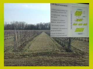
Plantation endangered by flood of the Tisza River in Szabolcs -Szatmár-Bereg County. Image: HUNAGI Visual Resources
Land valuation, Land Management for Areas for High Flood Risks

- Inter-national Technical Exchange Meeting in Budapest
The Meeting will dealing also by GIS supported evaluation of land using D-e-Meter (See the blogpost of May 22, and/or visit www.demeter.vein.hu
More news on FARLAND please visit its the official website: http://www.farland-project.org/
More on the Stakeholders:
http://www.fvm.hu
http://www.taki.iif.hu/english.htm
http://www.vati.hu
http://www.fao.org
http://www.takarnet.hu
http://www.wwf.hu
http://www.vein.hu


0 Comments:
Post a Comment
<< Home