


D-e-meter Integrated environmental resources and agricultural information management system
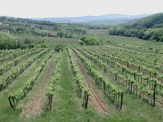
Lower image: Vineyard near to Szentbékkálla in County Veszprém. Photo: HUNAGI Visual Resources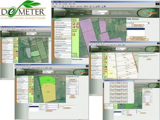 (2004)
D-e-meter – Developing an Internet-based land evaluation and farm data collection system to integrate environmental resources appraisal and agricultural information management. A system developed by HUNAGI Member Pannon University at Veszprém and its partners
Summary of the system in Engish: http://www.fomi.hu/hunagi/pdf/2004/D-e-metersum.pdf
More details in Hungarian language on the completed part of the project and the ongoing developments (project called 4F) orchestrated by the Pannon University at Veszprém is in blog http://hunagi7.blogspot.com For detailed information please use the official D-e_Meter website: http://www.demeter.vein.hu/indexen.html
 (2004)
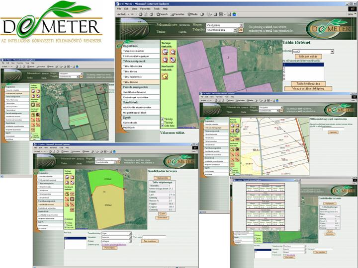
D-e-meter – Developing an Internet-based land evaluation and farm data collection system to integrate environmental resources appraisal and agricultural information management. A system developed by HUNAGI Member Pannon University at Veszprém and its partners
Summary of the system in Engish: http://www.fomi.hu/hunagi/pdf/2004/D-e-metersum.pdf
More details in Hungarian language on the completed part of the project and the ongoing developments (project called 4F) orchestrated by the Pannon University at Veszprém is in blog http://hunagi7.blogspot.com For detailed information please use the official D-e_Meter website: http://www.demeter.vein.hu/indexen.html
posted by RFG @ 5/22/2006 02:10:00 PM
![]()
![]()


0 Comments:
Post a Comment
<< Home