


GIS Day 2006 in Budapest
Last Call! Image: HUNAGI Visuals Resource, 2006 (Courtesy by drKE/GL and using the GIS Day logo of academic.venturacollege.edu)

GIS Day 2006 Budapest
The Today's program:
10:00
Welcome
Dr. L. Zentai Head of the Chair of Cartographic Science and Geoinformatics10:05
Interesting stories on the history of maps
Dr. Zs. Török Assoc.Prof.
10:25
Map-related website collections for pupils
Dr. Jesús Reyes Sen.Asst.Prof.
10:45
What is GIS about?
Gy. Domokos Managing Director (ESRI Magyarország Ltd.)
After the presentation, the globes and the municipal GIS were introduced and studied by groups of the Fazekas Mihály College of ELTE and the Varga Márton Vocational Training School.
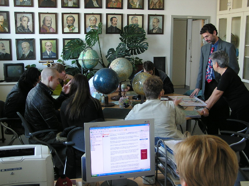
The group of the Varga Márton Horticultural and Surveying Vocational Training School of the Ministry of Agriculture and Rural Development with their Teacher and Dr. Jesus Reyes of the Chair of Cartographic Science and Geoinformatics
Additional information: http://lazarus.elte.hu/hun/dolgozo/jesus/vilagnap/2006vnap.htm
By courtesy of Dr. Jesus Reyes, Sen.Asst. Prof, the Chair's liaison personel for HUNAGI
Additional images can be found at the HUNAGI website'swww.hunagi.hu Photo collection.... Events ...
posted by RFG @ 11/15/2006 04:21:00 PM
![]()
![]()


0 Comments:
Post a Comment
<< Home