


GeoNetwork Opensource for the National Office of Disaster Management in Budapest
GeoNetwork Opensource version 2.0.2 (c) FAO, 2006
UNSDI emphasize GeoNetwork Opensource, a standards based Geographic Data and Information Management System for the web
UNGIWG consultant Mr.Jelle U. Hielkema wrote in his letter: " To get an idea of acual geographic data content through GeoNetwork one will have to go to the individual agency websites, for example www.fao.org/geonetwork ; http://vam.wfp.org/vamsie/srv/en/main.home and www.csi.cgiar.org just to name a few.
Another very informative site is the GeoNetwork Opensource Community website http://geonetwork-opensource.org/ where you will find important additional information."
Within the HUNAGI spatial data interest community, Mr. Viktor Pusztai, President of HUNAGI member EOGEO Foundation said in this context: „Our plan is to find and be involved open source projects mainly connected to environmental systems and GIS applications, and help to bring open source technology closer to the public and Institutions” ( pusztai@eogeo.hu )
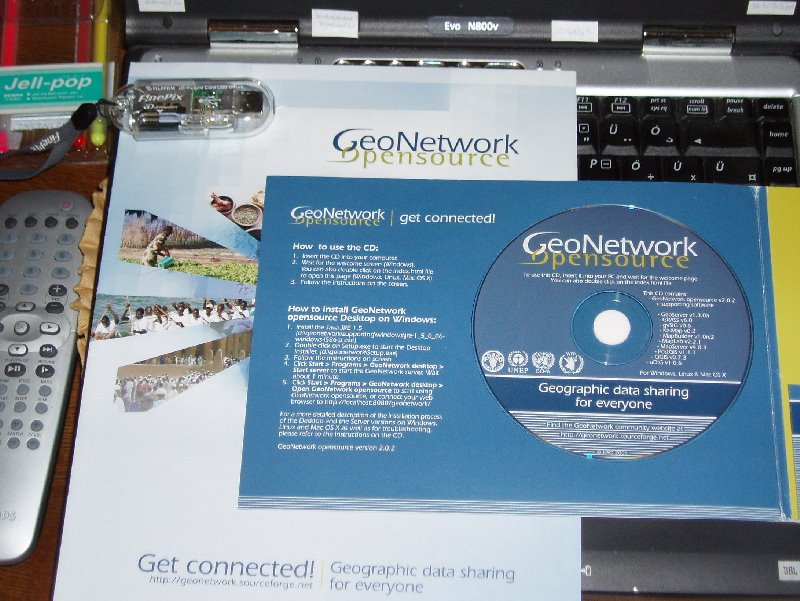
Recently a GeoNetwork CD containing a set of opensource softwares was submitted by Mr. Hielkema to the National Office of Disaster Management (OKH), Budapest.
posted by RFG @ 10/05/2006 06:24:00 PM
![]()
![]()


0 Comments:
Post a Comment
<< Home