


Annual Conference on Advanced Imaging and Mapping in Dobogókő
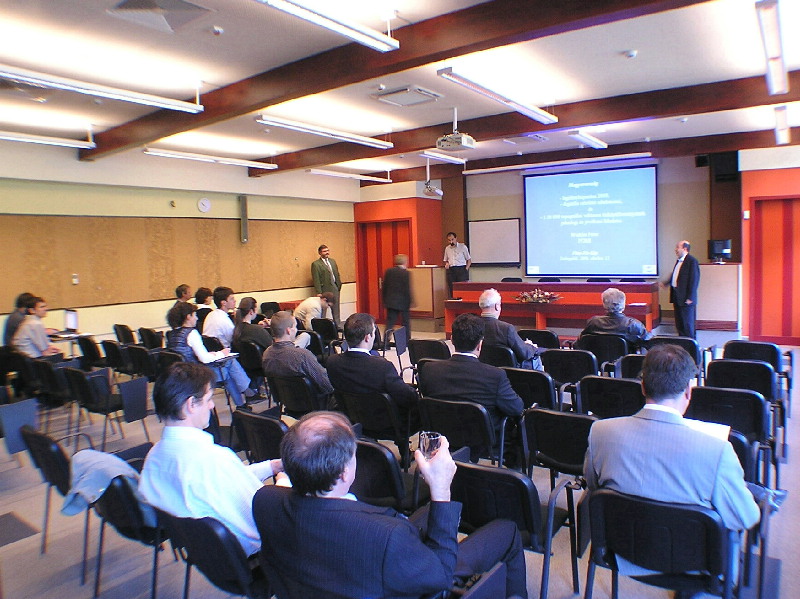
The Lecture Room of the Hotel Manréza in Dobogókő, venue of the Conference
held on 12-13 October 2006. Image: HUNAGI Visuals Resource, 2006
 Traditional Fall Events Organised by Bekes Ltd
with presentations and discussions devoted to the latest develop-ments in imaging and mapping in Hungary.
In the first sesssion Peter Winkler and Gábor Mikus of FÖMI RSC delivered lectures on
- Countrywide aerial survey, aerotriangulation, orthophoto production in 2005,
- Land Parcel Identification System for CAP IACS,
- Remote Sensing based control of area-based subsidies, - VINGIS, the GIS basement for the vineyard registry,
- Remote-sensing and LBS used for fight against allergic plants in discovery, interaction and supporting administrative measures,
- Remote sensing in flood and draught monitoring
For more information please visit www.fomi.hu
Image portfolio on the first session: www.hunagi.hu Photo Collection... Events... 2006... November 12-13
posted by RFG @ 10/12/2006 10:34:00 PM
![]()
![]()


0 Comments:
Post a Comment
<< Home