2006 Report on the National Mapping and Land Affairs in Hungary
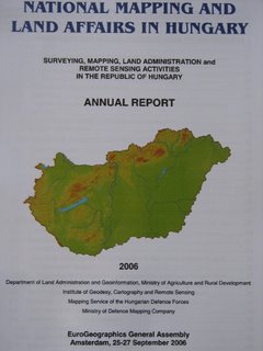
Cover page of the National Report (c) FÖMI, 2006 Image: HUNAGI Visuals Resource, 2006

Comprehensive Report on the Hungarian activities in Surveying, Mapping, Land Administration and Remote Sensing
The Annual Report was prepared for the EuroGeographics General Assembly held in Amsterdam, 25-27 September 2006.
Contributors are the entities of the National Mapping Agencies as follow:
Department of Land Administration and Geoinformation, Ministry of Agriculture and Rural Development here
Institute of Geodesy, Cartography and Remote Sensing here
Mapping Service of the Hungarian Defence Forces here and the
Ministry of Defence Mapping Company here
The richly illustrated booklet contains information related to the Spatial Data Infrastructure related activities with in-depth overview of the emerging international links including HUNAGI, EUROGI and GSDI.
It is downloadable at the website of the Institute of Geodesy, Cartography and Remote Sensing at here


0 Comments:
Post a Comment
<< Home