


National INSPIRE Information Day in Budapest
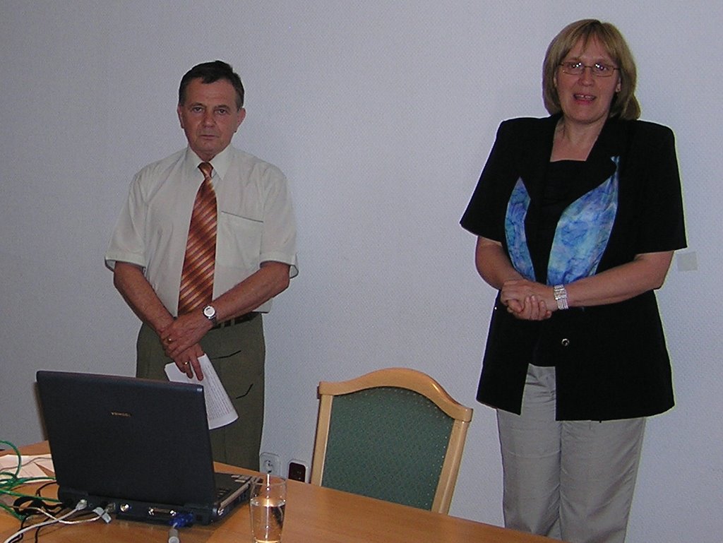
Session Co-Chair Mr. Dénes Szendrő of MoARD DLAG presents planned mid-term development programmes.
Image: HUNAGI Visual Resources

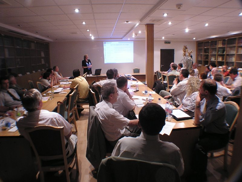
Major stake-holders of the atmospheric, surface and subsurface spatial data communities at the first INSPIRE Information Day
More than 50 participants were present representing four ministries (Agriculture and Rural Development, Environment and Water, Economy and Transport, Ministry of Home Defense), 6 national agencies (Geological, Forestry, Water Management, Physical and Regional Planning, Statistical Office and the Office on R+TD), 8 data providers, including 2 DG JRC registred LMOs (FÖMI and NatMetService), 2 academic institutions (Soil and Agrochemistry, Budapest University of Technology and Economics), 4 private companies (Bekes, Geox, Dasy and the Editorial staff of GIS Journal Térinformatika), 2 NGOs (Levegő Working Group and HUNAGI, the registred SDIC of DG JRC). The DG JRC was represented by Ms.Katalin Tóth of the SDI Unit, member of the INSPIRE Consolidation Team.
President of the Hungarian Meteorological Service
Mr. Zoltán Dunkel in action. Image: HUNAGI Visual Resources
 The infoday hosted by FÖMI on 30th June was devoted to the European legislation framework in spatial data infrastructure and organised by the Ministry of Environment and Water, the Ministry of Agriculture and Rural Development in conjuction with the LMOs Institute of Geodesy, Cartography and Remote Sensing, the Hungarian Meteorological Service as well as the Spatial Data Interest Community HUNAGI.
 The programme attracted representatives of a wide variety of disciplines in the renewable and non-renewable natural resources (such as vegetation, forestry, soils, water and geology and geophysics) as well as the human settlements related physical planning, surveying, mapping and land management.
A summary of the highly informative program:
Welcome address was delivered by Co-Chairs Pál Bozó, Director of Informatics at the Ministry of Environment and Water while Dénes Szendrő Director, Dept of Geoinformatics, Department of Land Administration and Geoinformatics of the Ministry of Agriculture and Rural Development gave an in-depth overview of the prepared development programmes related to the Land Offices, SDI, SatNav service and FÖMI Remote Sensing Center .
General introduction on the INSPIRE was given by Pál Lévai, Head, INSPIRE Task Force of FÖMI, the Institute of Geodesy, Cartography and Remote Sensing.
The updated INSPIRE Work Programme for the preparatory phase 2005-2006 and the state of the art based on the recent EC Expert Group Meeting on INSPIRE, and the 12th EC GI&GIS Workshop was presented by Gábor Remetey-Fülöpp of MoARD/HUNAGI.
Invited keynote speaker Ms.Katalin Tóth of DG JRC and the audience.
Image: HUNAGI Visual Resources
 By invitation, the keynote speech was held by Katalin Tóth of DG JRC of the European Commission devoted to an in-depth tour around data specification starting from the basics. The importance of preparadness and the need for developing the Hungarian terminology in the subject was also emphasized.
 The session "National level activities and measures supporting the INSPIRE preparadness" included the following presentations:
INSPIRE Team members of FÖMI headed by Pál Lévai introduced the subjects of the Drafting Teams' subjects Tamás Palya, Ambrus Kenyeres, Zoltán Forgách and Gyula Iván.
László Alabér, member of the drafting team of the Task Force on the Hungarian NSDI Strategy mandated by the Strategy Subcommission of the Intersectorial Coordination Committee on Information Society made an overview on the aims, objectives and directives of the draft strategy document.
Szabolcs Mihály, Director General of FÖMI highlighted the Hungarian NSDI -related Information Society Operative Programme (ITOP) and the recent supportive position of the GIS Subcommittee of the Department of Geodetic Science of the Hungarian Academy of Science headed by Prof. László Bácsatyai.
The scope and relevant activity of the Satellite Navigation Subcommitte of the Intersectorial Coordination Committee on Information Society was introduced by Istvan Fejes.
In the second session Co-chairs Zoltán Dunkel, President of the Hungarian Met Service and Károly Brezsnyánszky, Director General of the Hungarian Geological Institute gave overview in the INSPIRE related activities
The proactive participation of the Hungarian experts in various international networks in the INSPIRE context were highlighted:
GEO, EUMETSAT, EUMETNET (Zoltán Dunkel), EEA (Pál Bozó), ESTAT (Tamás Tóth, NatStatOffice), EuropeanWater Framework Directive (Gabriella Jelinek), EuroSDR (Árpád Barsi, Budapest University of Technology and Economics), Physical Plannning (P. G. Juhász VATI), ISPRS WG IV/1 SDI (Gábor Remetey-Fülöpp), EuroGeoSurvey (Károly Brezsnyánszky), EARSeL (Péter Winkler), FIG (Piroska Zalaba), ICA (Béla Pokoly), EuroGeographics (Szabolcs Mihály), PCC and UNECE WPLA (Gabor Remetey-Fülöpp of MoARD), Regional NMCAs Meeting on INSPIRE (Mrs. György Rátkai), GISIG (Pál Lévai).
Achievments of HUNAGI in the spirit of INSPIRE (Zsolt Sikolya), and INSPIRE-relevant activities of HUNAGI in the international arena: UNSDI Geoforum (whereas the tentative date, August 30 for the UNSDI InfoDay to be held in Budapest was announced) , GEO-GSDI-CEOS WGISS, EUROGI and ISDE (Gábor Remetey-Fülöpp of HUNAGI).
Director General of the Hungarian Geological Institute (MÁFI), Károly Brezsnyánszky introduces the geoscience activities in the context spatial data infrastructure. Image: HUNAGI Visual Resources
 In the session devoted to projects and programmes, the following presentations were delivered: ERA-ENV/GMES (Ms. Ilona Szabó National Office for Research and Technological Development), Humboldt/GMES (Gyula Iván, FÖMI), Galileo and EUPOS (Ambrus Kenyeres,FÖMI) e-ContentPlus, Project granted by the Economical Competetiveness Operational Programme (Peter Winkler, Scientific Director of FÖMI) Contribution was given by Erzsébet Beliczay of the Levegő Working Group, an acknowledged NGO in the field of environmental protection.
Director General of FÖMI Szabolcs Mihály and representatives of the
DG JRC SDI Unit Ms. Katalin Tóth during the closing of the INSPIRE Infoday. Image: HUNAGI Visual Resources.
 In the closing words Szabolcs Mihály, DG of FÖMI and Katalin Tóth of DG JRC summarized the major messages. It was a highly informative meeting of fully commited and enthusiastic experts and representatives of the major actors having responsibilities in the preparation, adaptation and implementation phases of INSPIRE, the legislative framework in spatial data infrastructure.
Critical areas and hot issues were identified as the need of strategy, coordination, co-operation and partnership. Applicable economic-financial modeling, agreement-based cooperation should facilitate the implementation plan. Appreciation was given to the MoEW and MoARD for arranging the first Hungarian INSPIRE InfoDay and for the organisators (both in content and logistics), a team of FÖMI and HUNAGI.
Director General Mihály announced the date of the next National INSPIRE Information Day (actually a national workshop in line with the DG JRC's methodological guideline) scheduled for November 15, the International Day of GIS. This event is expected to be supported by DG JRC.
More on the event including downloadable presented slides and a photographic portfolio is available at
http://www.fomi.hu/hunagi
posted by RFG @ 7/03/2006 10:01:00 AM
![]()
![]()


0 Comments:
Post a Comment
<< Home