FAO TCP supported by GIS

Integrated territorial FAO Technical Cooperation Program will be supported by Local SDI
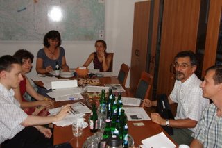
Steering Committee Members were informed on the ongoing activities by Chair Ms. Márta Konkoly of MoARD, and project advisor Ms. Zsuzsa
Flachner. The Bereg Area-based multi-sectoral, multi-level project is related to water land management, nature protection and sustainable rural development in line with other on-going national programmes such as SAPARD, NEAP, VTT, NATURA2000, LEADER, FARLAND Interreg III/C, UNDP-GEF and ERDF Bereg Interreg III/A. Further features of the FAO TCP is the planned GIS-based assessment on land use and land management and the involvement of the local actors using participatory and negotiated based approach.
Anticipated impacts of the institutional development is multiple: economic, societal and environmental.
The first deliverables of the project is scheduled for late september in form of the strategy for implementation after a series of on-the-spot discussion with the local stakeholders as well as regional and central governmental actors. As far as the INSPIRE Annex I and II level spatial data are concerned, the prime data providers are FÖMI and the relevant District and County Land Offices.


0 Comments:
Post a Comment
<< Home