


Environmental Statistics Atlas of Hungary Published
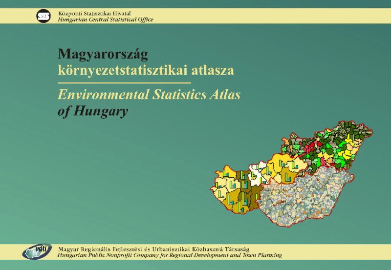
Cover of the Atlas. Image: HUNAGI Visual Resources by the courtesy of the Hungarian Central Statistical Office, member of HUNAGI
Environmental Statistics Atlas of Hungary using GIS tools for analysis and visualization
In this publication the HCSO – with the effective assistance of VÁTI (also member of HUNAGI) – publishes for the first time comprehensive thematic maps collecting the available statistical data on the state of environment.
The publication is based on the traditional and generally accepted international model 'driving forces - pressures - state - impact - responses'. The main topics are the following: social-economical facts; natural resources; discharges; state and endangerment of environment; nature protection; environmental infrastructure, investments, expenditures, subsidies.
The data and information are generally presented on NUTS5 and NUTS4 levels, but in some cases the use of NUTS3 level was inevitable.
Some methodological remarks can also be found in order to help the orientation among the maps and some graphics presenting long time-series.
The publication is useful for the experts involved in regional and environmental planning and research, for the teachers and students and others interested in widening their knowledge and for the experts in the public administration.
For more information: Territorial Communication Dept. Hungarian Central Statistical Office Dr. Géza Tóth
geza.toth@ksh.hu or visit www.ksh.hu
posted by RFG @ 3/24/2006 02:23:00 PM
![]()
![]()


0 Comments:
Post a Comment
<< Home