


Hungarian Border Guard Uses Geospatial Management System
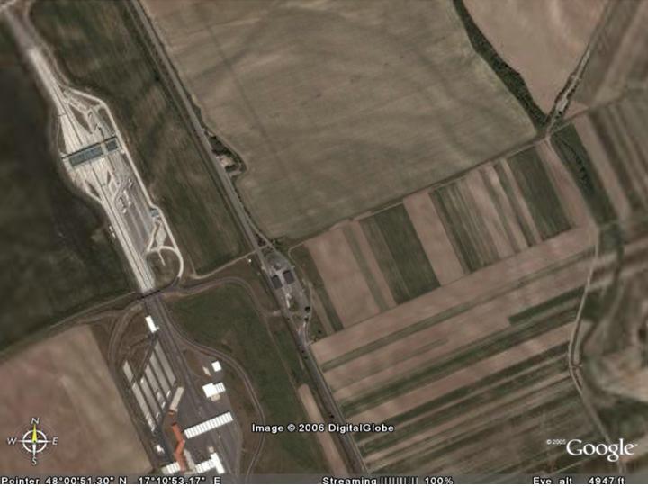
Rajka Border Cross (c) Google, 2006
Geospatially supported integrated resource and asset management system
The system has been implemented including border patrol, dispatch and routing subsystems to manage incidents and to improve decision-making efficiency.
Solution Provider: Geometria Ltd, Budapest, an Intergraph Solution Center http://www.geometria.hu)
posted by RFG @ 2/12/2006 12:06:00 PM
![]()
![]()


1 Comments:
Hello I must say this is a very nice blog you have here and the comments are very interesting as well. Being an internet afficionado I am constantly seeking out new sources of information like this one. While I am currently doing some research, I would also like to intimate the readers of this blog about the ongoing drive to sell out the internet to the big communications companies. I am part of a pressure group that would appreciate it if readers would help spread the word about this so we can maintain the intergrity of the internet as a free resource for the world. Thanks for helping to spread the word and being a resource for my work. Cheers and keep up the good work.
asset management database utility
Post a Comment
<< Home